Finding Soils Information
Before you invest... you have to investigate!
If the land you are buying cannot be connected to a city or municipal sewer system, you have to investigate what kind of soil is present in the area. This is critical because depending upon the soil, you may have to spend between $3,500 to $10,000 (for a two-bath three-bedroom house) for your septic system. You have to investigate!
HOW DO YOU GO ABOUT YOUR SOIL INVESTIGATION?
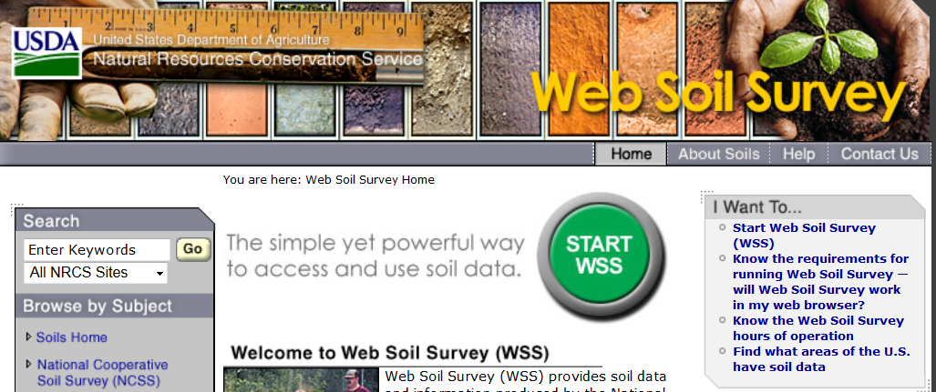
1. Open up an internet browser and access the Web Soil Survey (WSS) by going to http://websoilsurvey.nrcs.usda.gov.
Click “Start WSS” to begin.

2. Locate your Area of Interest (AOI).
-At the left side of the webpage, click the "Address" under Quick Navigation
-Type-in address of your area of interest and click to open a page showing a map that include your AOI.
-Click and zoom-in to the location of your AOI.
-Click  or the
 and eStabliSh the boundaries of your AOI on the map.
-After setting the boundaries of the AOI, click "Soil Map" to vies the boundaries of the Soil Mapping Units in the AOI.
-A page, like the one below, will show the names and percent area covered as well as the location of each soil mapping unit in the AOI.
3. Extract information about the soil mapping units in the AOI.
- Click the "Map Unit Name" to view the Map Unit Description (example- see below) of each soil mapping unit.
- scroll down to particularly focus on the following soil properties:
- Slope: if >10% the system may require more advanced wastewater distribution system
- Depth to restrictive feature and to water table: preferably > 48 inches
- Frequency of flooding and ponding: this should be “none”. If there is potential for flooding and ponding, the area should NOT be used for onsite septic systems.
- Drainage class:Preferably “Well-drained”.
- Devote particular attention to the description of a "Typical Profile" and determine the soil Textural Classification in the upper 48 inches.
- Important Note: Soils can be highly variable. Texture classes listed in the WSS should be viewed as best estimate.
4. Using Textural Triangle, identify the soil with the finest soil texture in the upper 48 inches.
TRENDS IN THE TEXTURE TRIANGLE:
Soil textural classes at the top are finer than those at the bottom.
Soils at the right are finer than those at the left
5. Once you determined the finest soil texture class in each soil mapping unit, go to the "Soil-based Septic System Decision" page in this website to determine what type of septic systems may work in your area of interest.


